Interviews
We must revisit our infrastructure designs after recent weather event
There is scientific evidence to show climate change has induced hazards in Nepal, including the Thame glacial outburst.
Thira Lal Bhusal
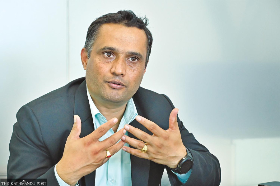
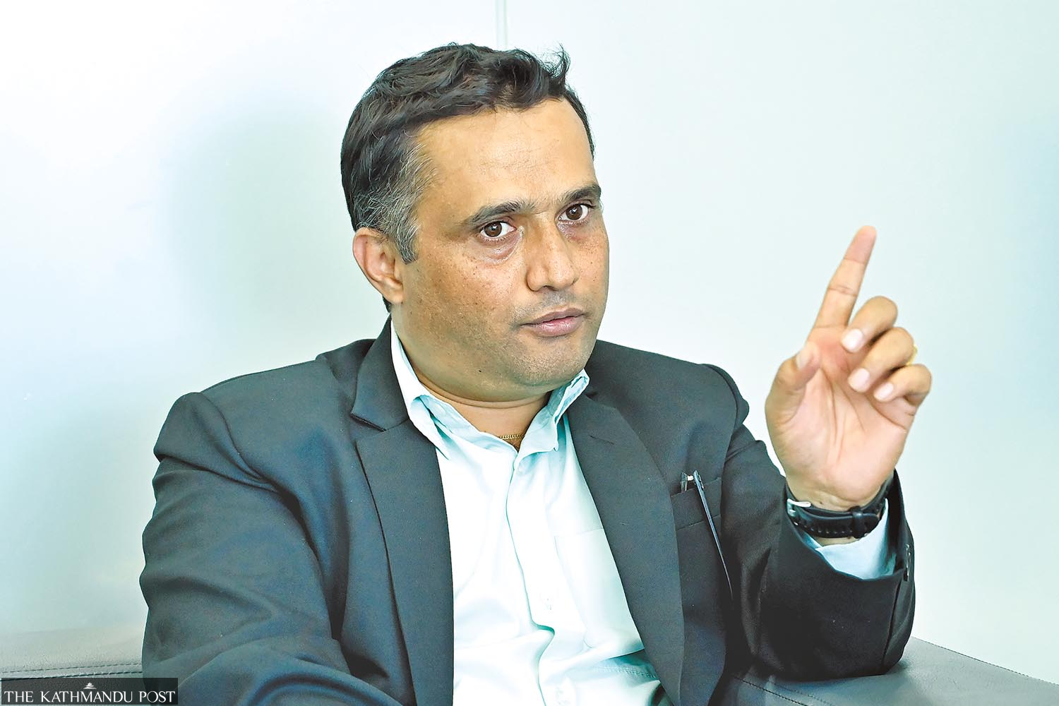
Central and eastern parts of Nepal witnessed devastating incidents of landslides and floods last week. At least 244 people were killed, while 19 are still missing. The Post’s Thira Lal Bhusal sat down with Basanta Raj Adhikari, director at the Centre for Disaster Studies, Institute of Engineering at Tribhuvan University, to discuss how the country can be better prepared to manage the disasters and minimise damages.
Recently we faced disastrous floods and landslides. How do you analyse the losses? Could the damages have been reduced with better preparation and timely response?
To begin with, I want to make one thing clear. There is a fundamental difference between a disaster and hazard. Hazard is always natural but it becomes a disaster if there is human involvement. If there is a landslide in a jungle with no human activity, it is a hazard. If a landslide hit a human settlement and it required external involvement to restore the place, then it becomes a disaster. An earthquake is a hazard but it becomes a disaster when man-made structures kill people.
As far as the losses from the recent floods are concerned, we could have minimised them with better preparation. For instance, Nakkhu was one of the worst hit areas in the Kathmandu Valley. The river there has drastically narrowed and a human settlement has been developed on the riverbanks in recent years. Human activities in rivers are natural as human civilisations took place on the banks of rivers. But it should be done without disrupting the natural flow of the water. We developed huge settlements encroaching the riverbanks. This invited huge losses. Such activities could have been avoided.
As Nepal witnessed record-high rainfalls, were not these losses to be expected?
It is true that the country witnessed record rainfalls this season, the highest in the past over five decades. Climate change has caused extreme weather events in recent years. But we can’t blame only natural factors. If you see the images of 2003, it clearly shows that the place where the MediCity Hospital now stands is clearly the floodplain of the Nakkhu river. If you go further downstream, you see a colony. This is how we have encroached riverbanks. We can encroach rivers but it should be done in a scientific way.
What is scientific encroachment of rivers?
We can model flooding based on the highest volume of water a river can carry. Based on such evidence, we can decide what kind of activities can and cannot be carried out on a riverbank. We can develop settlements but that should be based on scientific evidence and data. Another important concept we should follow is risk sensitive land use planning.
Nepal government has already prepared land use maps of all the 753 local units that give vital information about a particular place such as the soil, land capability, risk layer, present land use map, zoning map and cadastral layer. But some people have stopped the authorities from implementing the maps as once they are passed, a land categorised as an agricultural area cannot be converted into commercial land. If that scheme is implemented, one can’t build a house in high flood land.
Now the local authorities enforce only the building codes and that don’t include these provisions. That doesn’t inquire whether a building is being built on a riverbank or a landslide susceptible area. In developed countries, those who build in high flood risk areas have to pay more in insurance. Also, areas are categorised based on the chances of occurrence of landslides on the basis of soil type, rock type, geology, distance from a drainage or a road etcetera and structures built there are dealt with accordingly.

We are witnessing extreme weather events. In this context, what should we do to prevent more loss in the days ahead?
We require an engineering paradigm shift in building infrastructures. The extreme weather patterns have made the data we used to refer to in the past while building infrastructures irrelevant. The data on water levels that were referred to while making a bridge in a river now need to be updated as water levels in our rivers have been rising in recent years. The existing infrastructures can’t withstand that volume of water. We witnessed record rainfalls last week. This can be a reference data for some years. Also, the sedimentation pattern has changed because of human settlements built upstream.
Second, we have a generalised rule of building roads across the country. The impact of 200 millilitres of rainfall in Pokhara and rainfall of the same volume in Jhapa is different. As Pokhara experiences rains on a regular basis, the soil in the area can withstand it because it has been weathered by regular rain but the same volume of rainfall can cause more losses in Jhapa because of weak soil there. We thus have to consider the strength of soil while building a structure in a particular place.
There is a single road construction method across the country, whether the place is in a high himalayan range, Mahabharat, Shivalik hills or plains. We have to make specific rules for specific places based on the geological and soil structures. The parameters of road construction should be redefined. We are improving the weather forecasting system but now we also need impact-based forecasting to inform the public not only about the volume of likely rainfall but also its likely impact.
Where are the problems in our disaster response approach?
The Natural Calamity (Relief) Act, 1982 was guided by a fatalistic approach as it saw natural hazards as destined by fate. Then came Disaster Risk Reduction and Management Act, 2017. This change in law is in fact a paradigm shift in disaster management in Nepal. The new law’s perspective is progressive. The new Act changed us from response-centric to preparedness-centric. Legally, we are on a progressive path. But we lag in implementation. We also need to upgrade our skills in handling the situation. Our constitution as well as laws have entrusted local units with the responsibility of handling disaster incidents on their own. The government should make people at the local level aware, and equip and train them for the purpose.
Training on some important procedures such as the INSARAG preparedness and response guidelines can be quite effective. Such training and other activities aimed at helping local units to handle disaster incidents should be conducted at the ward levels. “Understanding risk” is an important aspect in disaster management. So common people should be sensitised to the consequences of disaster incidents. You can see people collecting timber from flooded rivers, taking selfies on riverbanks and gathering on a bridge above a roaring river. People at all local wards need to be well-equipped. Those who were swept away at Nakkhu could have been saved if the security personnel and other people there had at least motorboats and life jackets. Our rescue workers now lack even such basic things.
Settlements in Nepal’s mountainous and hill areas are located in equally risky zones. What should be done to safeguard them?
The mountains in our region are taken as young and the Himalayan range is in the building process. It is also called an active mountain belt. Therefore, we experience frequent earthquakes. Earthquakes cause geomorphological changes. A large number of settlements in Nepal’s hills sit on the debris of old landslides that might have occurred long back. People there should be made aware of the risk and these places be identified. Engineering measures should be taken to make them safe. Scattered populations mainly in the highlands need to be integrated in concentrated settlements.
What is the latest status of glaciers and glacial lakes in our mountains?
The pace of glacial melting is rising alarmingly because of rising temperature. Earlier, we took only big glacial lakes as threats and gave them more attention but recent incidents showed that even smaller ones pose a threat. The incident of the Thame glacial lake outburst in August showed how the outburst of even a small glacial lake could have a cascading effect. Likewise, the deposits of landslides being piled above 3,000 metres are another serious challenge. Such sediment deposition is increasing in the mountains while there is a huge population downstream. The frequency of cascading hazards has increased, emerging as a major challenge. A landslide blocks a river and when the river breaches the structure built of debris, it causes devastating losses downstream.
How can we scientifically prove that the hazards we are seeing were the result of climate change?
There has to be scientific evidence to make the link. For instance, the Thame glacial outburst was clearly a climate change-induced hazard as it did not involve human activities. The treeline and snowline are shifting upwards in our mountains. There were no mosquitoes in Mustang until some years ago. Now mosquitos are widespread in the district as temperature there has significantly increased. The crop pattern has changed drastically. Thus we have a number of scientific evidence to show clear signs of climate change in this part of the world. What the government should now do is properly document these climate change-induced incidents following internationally-accepted methods and present them at relevant UN bodies.


 17.13°C Kathmandu


