Climate & Environment
Forest officials in Udayapur raise flag on Chure conservation
Population burst and urbanisation adversely affecting forest cover, conservationists say.
Dilliram Khatiwada
Forest officials in Udayapur, Siraha and Saptari districts have underscored the need to implement an integrated work plan to conserve the Chure forest in the region.
The Chure forest runs across a 900 square kilometre area in Udayapur, Siraha and Saptari districts in two different provinces.
Jageshwor Sah, the information officer at the Division Forest Office in Gaighat, Udayapur, said the three districts had prepared an integrated work plan but it was left unimplemented with the adoption of federalism in 2017 which geographically placed Udayapur in Province 1 and Siraha and Saptari in Province 2.
“The geographical placement should not affect the conservation of the Chure region. The integrated work plan formulated before the country was zoned into provinces needs to be implemented for the conservation of the Chure forest,” said Sah.
In 2016, a meeting of the forest officials of Udayapur, Siraha and Saptari held under the chairmanship of the then chief at Regional Forest Directorate Mana Bahadur Khadka decided to prepare an integrated work plan for the conservation of the Chure. The work plan, which was formulated in accordance with the decision, was never implemented.
Conservationists warn that excessive and haphazard use of forest products is gradually destroying the Chure forest region. Population burst and urbanisation in areas close to the Chure forest also stand to adversely affect the forest cover, they say.
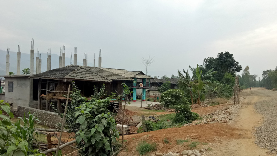
“There has always been migration of people from the hills to the Tarai and inner-Tarai regions. Over the years, the population in these areas has grown and led to urbanisation. The construction of concrete buildings and fast-paced infrastructure development has led to massive extraction of riverbed materials,” said Netra Regmi, an environmentalist. “Such increased human interference in the region is harmful to the Chure forest area.”
Forest officials say illegal deforestation and extraction of riverbed materials are huge challenges in the conservation of the Chure region. Although the region is vulnerable to risks caused by natural disasters such as forest fires and soil erosion, it’s the man-made challenges that are proving the most difficult to overcome, officials say.
“Difficult topography of the region itself is a challenge in mitigating nature-induced destruction but conservation efforts become most ineffective when humans contribute to the already burdening challenges,” Ambika Paudel, chief at the Division Forest Office in Gaighat, told the Post. “Excessive sand and pebble extraction and unplanned urbanisation are big contributors to destruction of the Chure forest region.”
The Chure forest extends from the Koshi river in the east to the Kamala river in the west.
“Due to the geographical remoteness and difficult topography of the Chure forest across these three districts, it is difficult for local and district-level governments to kick-start conservation efforts,” said Sah, information officer at the Division Forest Office in Gaighat. “The provincial and the federal governments should also give this issue a serious thought.”
To prevent the degradation of natural resources, the government had launched the President Chure Conservation Programme in the fiscal year 2010/2011. The programme is one of the national pride projects that is aimed at preserving the Chure ranges and conserving the geographic stretch from further degradation.
In June 2014, the government also formed the President Chure Tarai Madhes Conservation Development Board to carry out various conservation programmes under the 20-year President Chure Tarai Madhes Conservation and Management Master Plan.
“But none of these steps have borne positive results especially in the Chure forest area in Udayapur,” said Paudel, chief at the Division Forest Office in Gaighat.
The Chure conservation area covers 12.78 percent of the total area of the country. It comprises inner Tarai valleys and river valleys passing through the region.


 13.12°C Kathmandu


