Interviews
We should move towards impact-based forecasts
In the case of floods, we have succeeded in saving lives through alerts. We are not so successful in other disasters.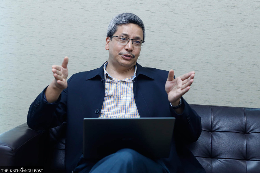
Thira Lal Bhusal
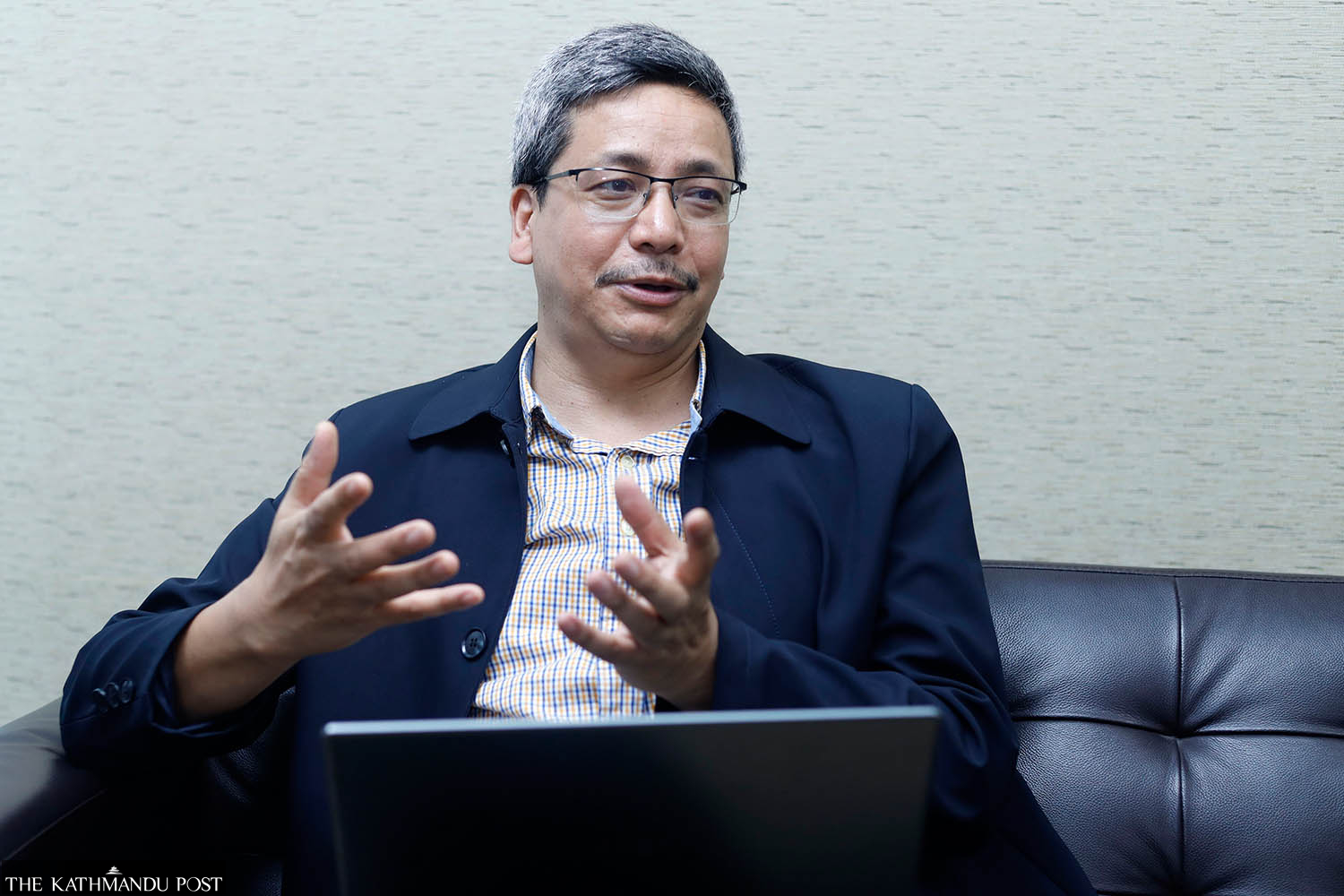
Scores of people have been killed in landslides, floods and other monsoon-induced disasters within a month of the monsoon entering Nepal in the second week of June. The Post’s Thira Lal Bhusal asks Jagadishwor Karmacharya, director general of the Department of Hydrology and Meteorology, what the department is doing to save people from disasters and whether our system is ready to cope with the challenges posed by climate change.
Where is Nepal in terms of technology and expertise when it comes to forecasting the ever-changing weather patterns?
If we compare to our situation a decade ago, we have made significant progress in setting up meteorological stations, collecting real-time data and increasing the frequency of weather predictions. We get rainfall data from around 350 stations, while we receive information about temperature and other related parameters from around 150 stations. We have an additional 175 centres to collect information about water levels. Our servers get real-time data every 10 minutes from all these stations. Besides that, we also have manual data collection centres. Thus, we have around 800 data collection centres in total. But we haven’t been able to set up enough stations in the Himalayan range due to difficult topography, low presence of government agencies and other factors.
Also, we release radiosonde balloons to collect data on temperature, humidity and wind speed from the upper levels of the atmosphere. Overall, we have made huge strides in using technologies in the past decade, but it is still insufficient to cater to people’s expectations. They want specific weather information about their present location or destination. The expectation is valid. But our complex and diverse topography and meteorological phenomenon—ranging from the Tarai belt to the Himalayan range—makes accurate forecasts challenging. Kaski’s Lumle sees maximum rainfall in the country, and around 40 km north of it, the Jomsom area sees negligible rain. So great variability within a short distance adds to the challenge of forecasting.
Do we have sufficient stations to cater to that variability?
We need more stations because the higher you go, the more variabilities you find. In the plains, the weather pattern is more homogenous, while it is highly heterogeneous in the hills. In Tarai, even a station in around 100-150 kilometres may work because there is less variability of temperature as well as rainfall. But we need more stations in the hills where rain patterns drastically change.
Are our methods and technologies being updated over time?
Until around a decade ago, the forecasters used to predict based on their experience and the data received every three hours from the synoptic weather stations of Nepal and other neighbouring countries. At the time, we used to predict weather only for a day. Now, we synthesise the data collected from our systems and those from the modelling centres from India, China and other countries. Now, we can forecast for three days.
Our capacity has significantly increased mainly in observing real time happenings. As I said, we take updates from hundreds of stations every 10 minutes. We also take satellite pictures from 16 channels of Japan’s Himawari Satellite, which has stationed its receiver in Nepal as well, also every 10 minutes. Until over a decade ago, we used to receive satellite pictures just once or twice a day. Even those pictures weren’t as good as those we get these days.
We used to update surface-related data in three hours and upper air data in 12 hours. Based on that, we made a weather forecast for the next 12 hours. In comparison, we now have a large number of hydrological and meteorological real-time observation stations, the updates from Himawari and other satellites every 10 minutes and we have three radars to gather information. With the help of these technologies, now we can get immediate real-time updates. It helps us analyse the data of past hours and predict possible scenarios of the next six to 12 hours. We inform people accordingly. But we have to work more on the technology to make longer forecasts. Despite these progresses, we are still 15-20 years back in comparison to the technologies used by developed countries. We are behind in research. We need more expertise and an upgrade of our technology.
Nepal doesn’t have its own satellite. Is this problematic?
On the weather observation part, our work has not been hampered because we get data from the satellites of India, China and Japan. On the communication part, we are getting support from telecom companies—NTC and NCell—to transfer data. It covers most parts of the country. Absence of a satellite of our own is less of a concern compared to our other needs.
Climate change has brought about massive changes in weather patterns. Do we have sufficient expertise to cope with this?
The organisational structure and positions in our department haven’t changed much in over three decades. Demand for our work has drastically increased in the past two decades but we haven’t been able to cater to the demand. We need engineers capable of working with the latest technologies but we don’t have positions for such professionals in our current structure. We have procured some technologies and got some from our donors. But we don’t even have experts to use that as well.
As you said, the department has made progress in the past decade but in this period climate change has progressed even faster. How do we keep up with this change?
We face new challenges almost every year. In the past couple of years, mountain districts such as Manang and Mustang have not only witnessed rainfalls but also heavy downpours that even swept away bridges and other structures. Last year, over 30 hydropower projects were badly damaged by floods in eastern Nepal. The floods that wreaked havoc in Melamchi in 2021 were unprecedented. These incidents are evidence that climate change has already started to show unusual patterns and cause damages in this Himalayan range. We will face extreme weather patterns like long droughts and heavy rainfalls.
The Dodhara weather station of Kanchanpur recorded 624mm of rainfall in 24 hours earlier this month. This is a new record. Before that, 540mm was the highest rainfall recorded, around two decades ago. Upward shifting of snowline in the mountains and formation of glacial lakes are other indications of the impacts of climate change.
Don’t you think it’s already late to restructure government agencies, review policies and even redesign our systems?
That is necessary. Devastation in Melamchi is one example that suggests the same. While developing such projects, we have to seriously consider possible impacts of climate change. Even if they analyse the possible scenario, they refer to the data of the past few decades. But things are changing so fast, decisions based on old data might not be useful. So, it is becoming more challenging to make projections. Design guidelines definitely need to be updated. Our division lacks policies, let alone updated ones. Though we are issuing red alerts and carrying out other tasks on scientific grounds, we don’t have a legal basis even to do these things.
A large number of people in Nepal die in floods and landslides every year. Can we tweak our forecast system to save more lives?
We have succeeded in reducing the deaths by floods in comparison to the loss we used to incur until 8-10 years ago. Earlier, we didn’t have flood alert service. It has been around a decade since we started the dedicated flood service. These days, we send mass SMS to the people of areas where floods may cause damage and for that we collaborate with telecoms—NTC and Ncell. We also work with district authorities and I/NGOs mainly in flood-prone districts to run campaigns and conduct drills. This has been quite effective. We are also taking similar initiatives in collaboration with telecom companies and other agencies to inform people on 13 various hydro-meteorological hazards such as, rains, lightning, winds.
Working on floods is comparatively easier as it has certain catchment areas and we can focus on specific areas. So our efforts yield results. But in other incidents we can’t focus on certain areas. In floods, we inform the people hours before the flood so that they can shift to safe places. In the past, the death toll from floods used to be the highest. Now there are more deaths from landslides and lightning. We need to work more to give accurate information on lightning as well. Landslides vulnerability has increased due to extreme weather patterns, the impact of 2015 earthquake and rampant road construction.
Why don’t people in Nepal follow and rely on weather forecasts? Is it due to negligence or lack of reliability of the prediction?
It might be both. If the forecast doesn’t match reality, they may not follow or rely on us. So we need to improve our accuracy. Secondly, we need to increase awareness. Moreover, the weather isn’t as predictable as it used to be. So, we should keep on working, improving accuracy and making people aware.
Many rely on international forecasts but not our own. Is our system less efficient?
There are two aspects. One is getting accurate information and the second is user-friendly and attractive visual presentation of data, such as in mobile apps. We lag in the second part. Also, people want specific information about their locality and their intended destination. In the past, we used to give information by dividing the country in major regions such as eastern, central, western parts, tarai and hills. Now we have narrowed it down to each district. We need to work more on research.
Have we succeeded in connecting weather forecasts to people’s livelihoods?
The United Nations has launched the ‘Early Warning For All’ initiative to ensure that everyone on Earth is protected from hazardous weather, water, or climate events through life-saving early warning systems by the end of 2027. Various stakeholders need to join hands to implement it effectively as it has various components. Our expertise is to give as accurate information as we can. We give inputs but there are other agencies that go to the community level and work with the people.
What are the things that need to be done in the changed context?
We shouldn’t limit our work to simple forecasting but move to impact-based forecasts. For instance, we issue a seven-day Agromet Advisory Bulletin in collaboration with Nepal Agricultural Research Council which includes a summary on weather, crops, livestock, tables on weather and agrometeorological parameters, current weather information along with weather forecast (outlook). In a similar way, we can work with stakeholders on road transport as well. Then, we can make our forecast impactful, connect the general people and win their trust. But that requires proper policies and laws, updating this department’s organisational structure and enhancing the capacity of our human resource.


 14.12°C Kathmandu